News
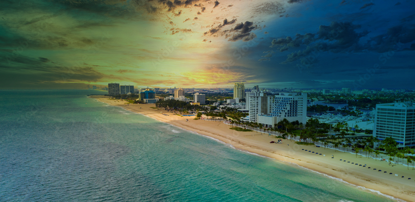
Town of Palm Beach Conducts Vulnerability Assessment
May 1, 2019
One of the first steps in building community resilience to climate change is to assess risks and vulnerabilities of the people and assets that could be impacted by sea level rise and storm surge outlined in the Regional Climate Action Plan’s recommendation RR-1. The coastal town of Palm Beach, home to approximately 9,000 residents, recently completed this recommendation by working with the Woods Hole Group to conduct their Coastal Flood Vulnerability Assessment. The analysis set out to answer the following questions:
- What are the chances infrastructure will flood today and in the future?
- What assets are vulnerable and what is the priority?
- What are potential interventions to manage risks and improve coastal resiliency, and when should they be implemented?
Results of this work include town‐wide maps of flood risk probability and associated depths of flooding for present day conditions and a future scenario for a higher sea level in a more energetic coastal storm climate. These maps also are provided in a format compatible with Palm Beach’s geographic information systems, and can be used to identify regional areas at risk, as well as specific assets subject to flooding. The report provides tables of Palm Beach’s public assets, along with the consequence score for each asset and the coastal vulnerability index. This vulnerability assessment will provide the basis upon which Palm Beach officials can make informed and strategic planning and budgeting decisions for adaptation priorities into the future.